On this page
- The importance of environmental monitoring
- Monitoring and data oversight
- Types of environmental monitoring
The importance of environmental monitoring

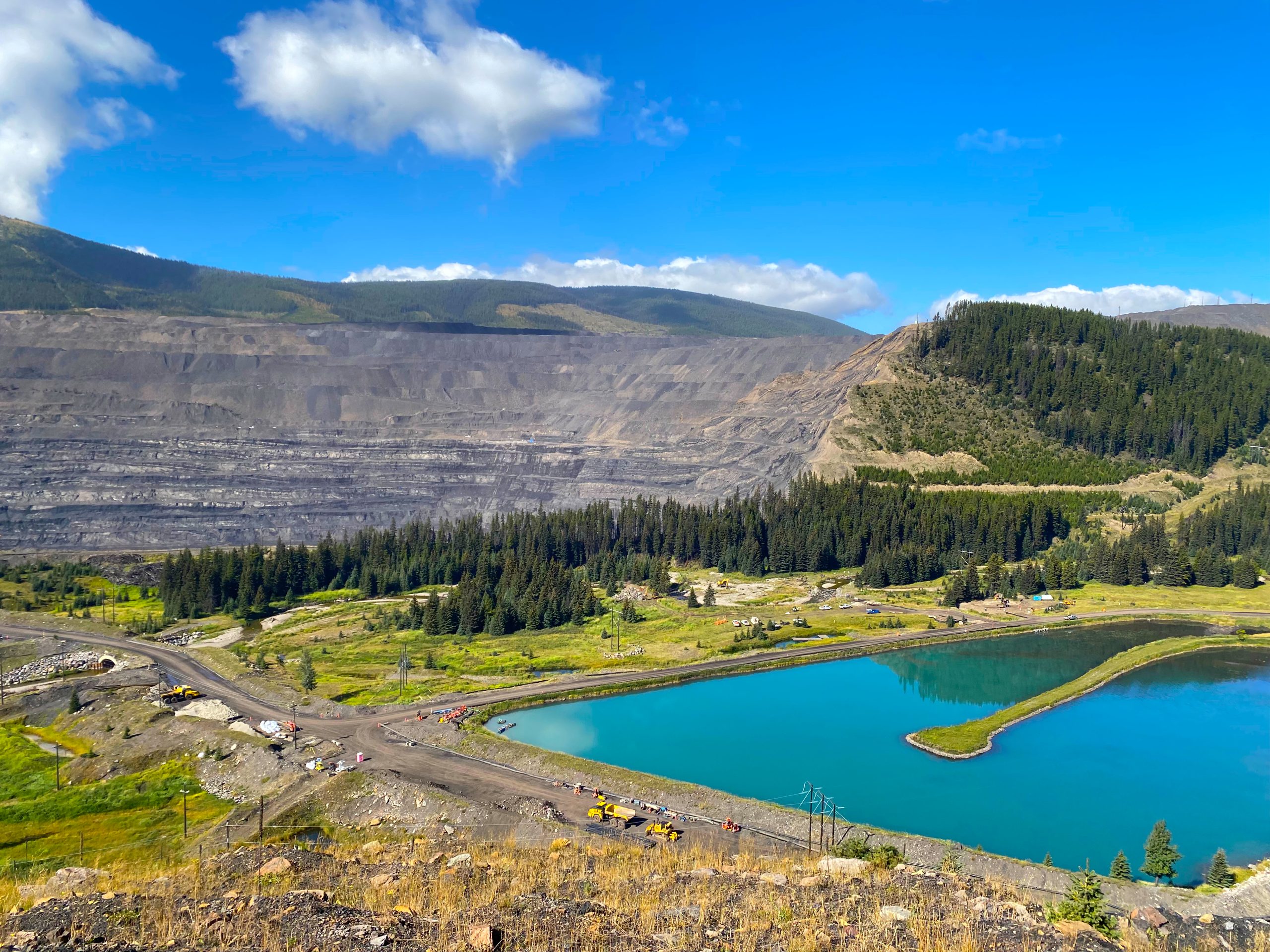
Staff viewing Clode Ponds at Fording River Operation.
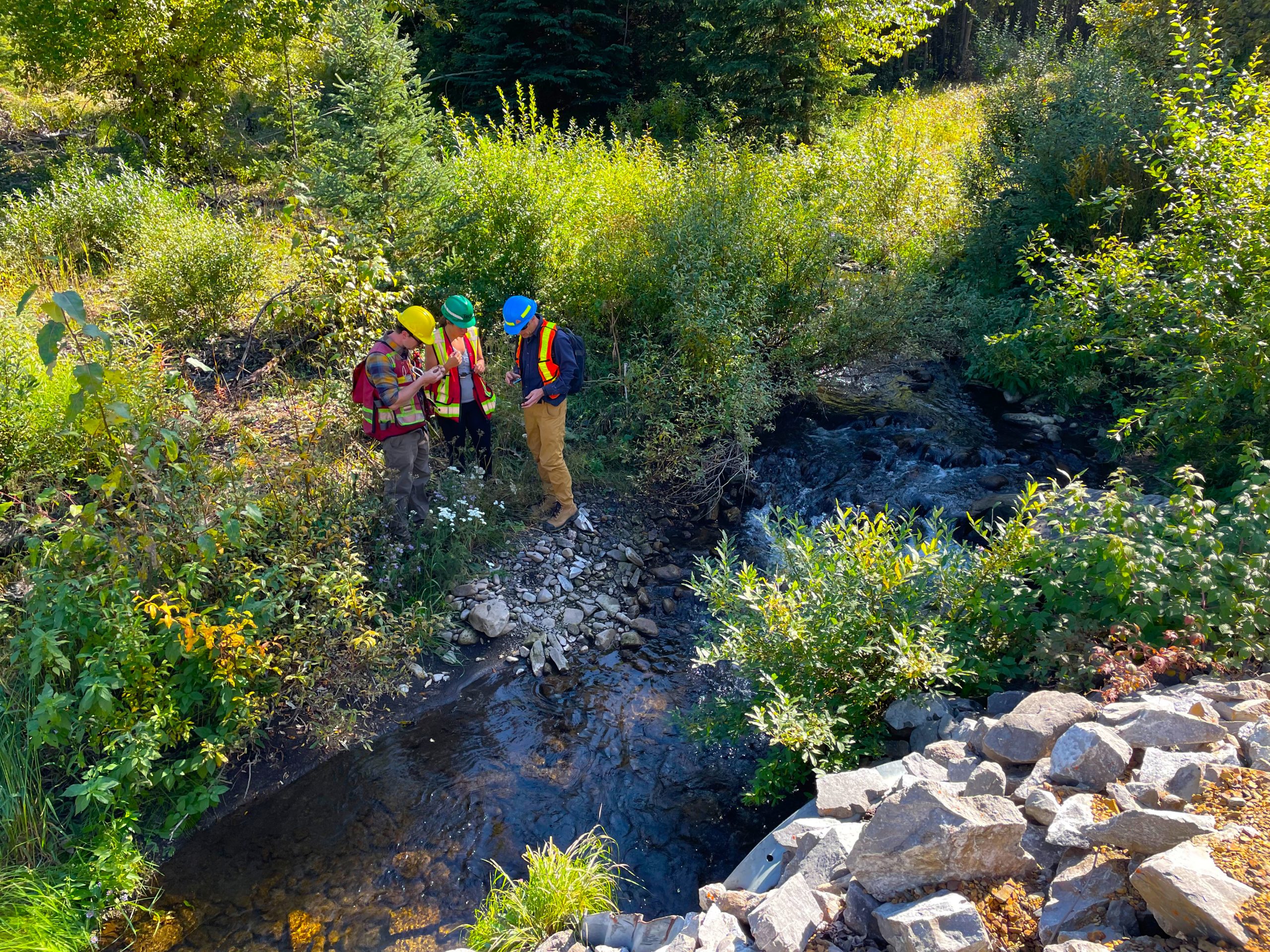
Monitoring improves understanding of the environment and helps determine if the Elk Valley Water Quality Plan and the Permit 107517 are working. Monitoring water quality demonstrates if amounts of substances are increasing or decreasing over time. Monitoring aquatic life confirms how ecosystems are changing in response to changes in water quality.
Monitoring results are used by the ministry for many purposes:
- Understanding if impacts are occurring
- Understanding how well management actions are working to improve conditions
- Understanding if permit requirements need to be adjusted in response to changing circumstances
In the permit, the ministry requires EVR to monitor and report on:
- Surface water
- Groundwater
- Sediment
- Aquatic life, including insects and fish
Monitoring programs cover the entire Elk Valley and Koocanusa Reservoir, including environments downstream from all 5 of EVR’s mines. The programs are carefully designed to assess impacts from each individual mine, as well as the effects of all mines together.
Monitoring reports are publicly available.
Trust in monitoring results
The B.C. government oversees EVR’s monitoring programs.
EVR’s Permit 107517 requires:
- Samples must be collected according to approved scientific methods and analyzed by accredited laboratories
- Study plans and reports must be prepared and signed off by qualified professionals (for example, Registered Professional Biologists). These professionals are experts in their field of study and must remain neutral in accordance with a code of ethics
- Study plans, data and reports from Teck’s monitoring programs are reviewed by an Environmental Monitoring Committee
- Monitoring programs and study plans are approved by the Ministry of Environment and Parks
- Ministry compliance staff audit water quality samplings, which includes lab testing
Monitoring and data oversight
Environmental monitoring committee
EVR’s Permit 107517 requires an Environmental Monitoring Committee to review reports and data required by the permit. It ensures independent oversight of Elk Valley monitoring programs and provides advice to both EVR and the B.C. government.
The committee includes experts from:
- B.C. Ministry of Environment and Parks
- Ktunaxa Nation Council
- EVR
- An independent scientist
- Interior Health Authority
- Ministry of Mining and Critical Minerals
The committee meets many times each month and posts annual reports online, which are neutral summaries of the monitoring results.
Types of environmental monitoring
Surface water quality
Permit 107517 requires EVR to collect water quality samples from over 100 locations, including at the Compliance Points and Order Stations.
The committee meets many times each month and posts annual reports online, which are neutral summaries of the monitoring results.
Annual reports of EVR’s surface water quality program are publicly available.
All water quality data at Order Stations and Compliance Points can be viewed on the Water Quality Dashboard.
Surface water flow

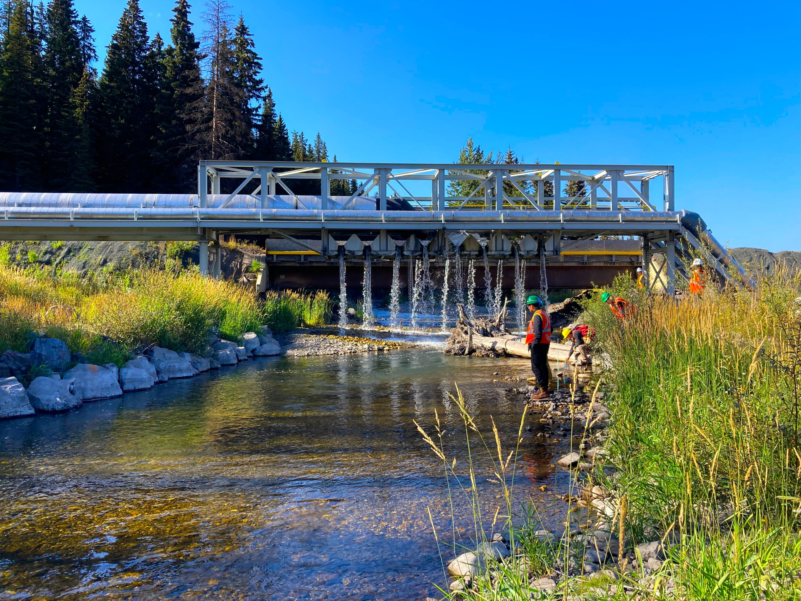
Water level staff gauge in Dry Creek.
The B.C. government requires EVR to monitor surface water flow at more than 150 locations in the Elk Valley.
Surface water flow is the volume of water that passes a point during a period of time.
Flow information is useful for many purposes. Flow data can be combined with water quality data to calculate the amount of each substance released from the mines into the environment.
EVR has developed a Regional Water Quality Model to help evaluate water quality risks, and to inform the development of water treatment and other management actions on the mines. EVR is required to update the model every five years so that it is always based on the best available data and science.
Fish and aquatic life

Aquatic insect from the upper Fording River.
Permit 107517 requires EVR to monitor and assess potential impacts from mining by testing the health of aquatic life.
This includes measuring, sampling and testing of:
- Aquatic insects
- Aquatic plants
- Fish
- Amphibians
Regional aquatic effects monitoring
Permit 107517 requires a regional monitoring program in the Elk Valley to assess effects on the aquatic environment downstream from the mines. Results from the regional program improve the understanding of cumulative effects on the ecosystem and inform the need for adaptive management, such as:
- Changes to monitoring programs
- More studies
- New permit requirements
EVR submits a report from the Regional Aquatic Effects Monitoring Program (RAEMP) every 3 years. Supporting studies are done to address any gaps and answer questions about potential impacts to plants, animals, fish and ecosystems.
The most recent 3-year RAEMP report was completed in 2023 and is over 10,000 pages long including supporting data. The next report is required in November 2026.
Local aquatic effects programs
Local Aquatic Effects Monitoring Programs (LAEMP) are used to assess impacts to local areas as needed.
Permit 107517 currently requires six LAEMPs. Each program answers questions about a specific area or activity:
- Fording River Operations LAEMP assesses impacts to the Upper Fording River from the Fording River South Active Water Treatment Facility
- Greenhills Creek LAEMP addresses questions about effects in Greenhills and Gardine Creeks
- Line Creek Operations LAEMP assesses impacts to Line Creek from the West Line Creek Active Water Treatment Facility
- Line Creek Operations Dry Creek LAEMP assesses the influence of mining on water quality, calcite and aquatic insects downstream of the Dry Creek waste rock dump and treatment facility
- Elkview Operations LAEMP assesses impacts to Erickson and Michel Creeks from Elkview Saturated Rock Fill
Toxicity testing
Toxicity tests are required at many locations at each mine, as well as all Compliance Points and Order Stations.
Testing exposes an organism, such as an insect or a fish, to a substance or water sample in a laboratory. Usually, test organisms are exposed to effluent from a specific location on a mine site, or water collected at a Compliance Point or Order Station. This provides a direct understanding of how organisms in the Elk Valley may be responding to specific conditions.
Tests can measure short-term (acute) or long-term (chronic) exposure periods.
Fish population studies
Fish are important to:
- Culture
- Food
- Recreation
- Tourism
- Ecosystems
Westslope Cutthroat Trout is a species of conservation concern. They live throughout the Elk Valley, including the upper Fording River above Josephine Falls.
The upper Fording River population of Westslope Cutthroat Trout is monitored every year by qualified fisheries biologists. Monitoring activities and results are viewed by a Fish and Fish Habitat Committee that includes fish specialists from the B.C. government, Ktunaxa, and qualified professionals contracted by EVR.
Review the upper Fording River fish population studies.
Calcite

Calcite build up on a rock from lower Greenhills Creek.
Calcite is regulated in Permit 107517. The permit:
- Defines Site Performance Objectives which come into effect beginning in 2024
- Requires a Calcite Monitoring Program
- Requires development and implementation of a Calcite Management Plan
The Calcite Monitoring Program measures the presence and degree of calcite formation throughout the Elk Valley watershed. The program is unique to the valley and has been carried out since 2013.
By sampling in a very large number of locations including unimpacted reference areas as well as sites downstream from mines, the program is helping to determine the factors which contribute to calcite deposition on stream bottoms.
The Calcite Monitoring Program now provides a comprehensive regional database of calcite that is useful for tracking changes over time. It is helping to identify areas needing treatment, and is also being used to monitor the effectiveness of calcite treatment facilities.
EVR is required to submit an annual report with the results of the program.
Groundwater
Through Permit 107517 EVR is required to conduct both regional and site-specific groundwater monitoring programs in the Elk Valley. These monitoring programs measure groundwater levels and collect groundwater quality samples.
The information supports EVR’s Regional Water Quality Model and the development of other groundwater models that inform:
- Mine planning
- Treatment planning
- Impact assessment
Annual groundwater monitoring reports are publicly available. Groundwater quality data is also uploaded to the B.C. Environmental Monitoring System four times a year.
Regional groundwater monitoring program
This program focuses on groundwater in the Elk River watershed at a large scale. It includes groundwater monitoring within 12 areas and aims to better understand the movement of substances in groundwater through these areas.
Site-specific groundwater monitoring program
There are 5 site-specific groundwater monitoring programs in the Elk Valley (one for each mine). These programs focus on identifying and monitoring possible groundwater flow pathways between source areas and the environment.
Human Health
A comprehensive human health risk assessment was completed for the Elk Valley. The risk assessment considered health risks from exposure to mine-related substances in drinking water and food.
A regional drinking water monitoring program evaluates groundwater quality from drinking water wells in the Elk Valley.


